
Urban Data Visualization: Insights from the ISCM – NUS International Workshop
From 23.02 to 27.02.2026, the Institute of Smart City and Management (ISCM) collaborated with the National University of Singapore (NUS) to organize an international workshop titled “Rewriting Smart Ho Chi Minh City.”
The program was led by Dr. Chaewon Ahn, Lecturer at the Department of Architecture, NUS and Co-Director of the NUS Civic Resilience Lab, whose research focuses on data visualization and participatory urban data collection methods. The workshop was co-led by Dr. Arch. Huynh Van Khang, Lecturer at ISCM – UEH and Founder of the Passive Design Laboratory (PDL), specializing in climate-responsive architecture and building performance simulation in tropical urban contexts.
The workshop brought together faculty members, researchers, and students from NUS, ISCM (UEH), ISB (UEH), the Vietnamese-German University (VGU), and Ho Chi Minh City University of Architecture (UAH), creating an interdisciplinary and cross-cultural learning environment. The program combined thematic lectures, field surveys, group work, and presentations, enabling students to engage with the full process of collecting, analyzing, and visualizing urban data.
During the workshop, Dr. Chaewon Ahn introduced a range of methods for collecting and analyzing urban data, alongside research projects exploring the use of data in architecture and urban planning. The lecture emphasized the importance of documenting everyday urban experiences in Ho Chi Minh City, including dimensions of time, culture, spatial dynamics, and social behavior - aspects often underrepresented in conventional smart city planning frameworks.

Figure 1. The thematic lecture by Dr. Chaewon Ahn
Following this session, graduate students from NUS presented five main research themes guiding the workshop: Climate Risk, Walkability, Mobility, Livability, and Industry. These thematic directions helped students from both institutions form research groups and develop their projects throughout the program.
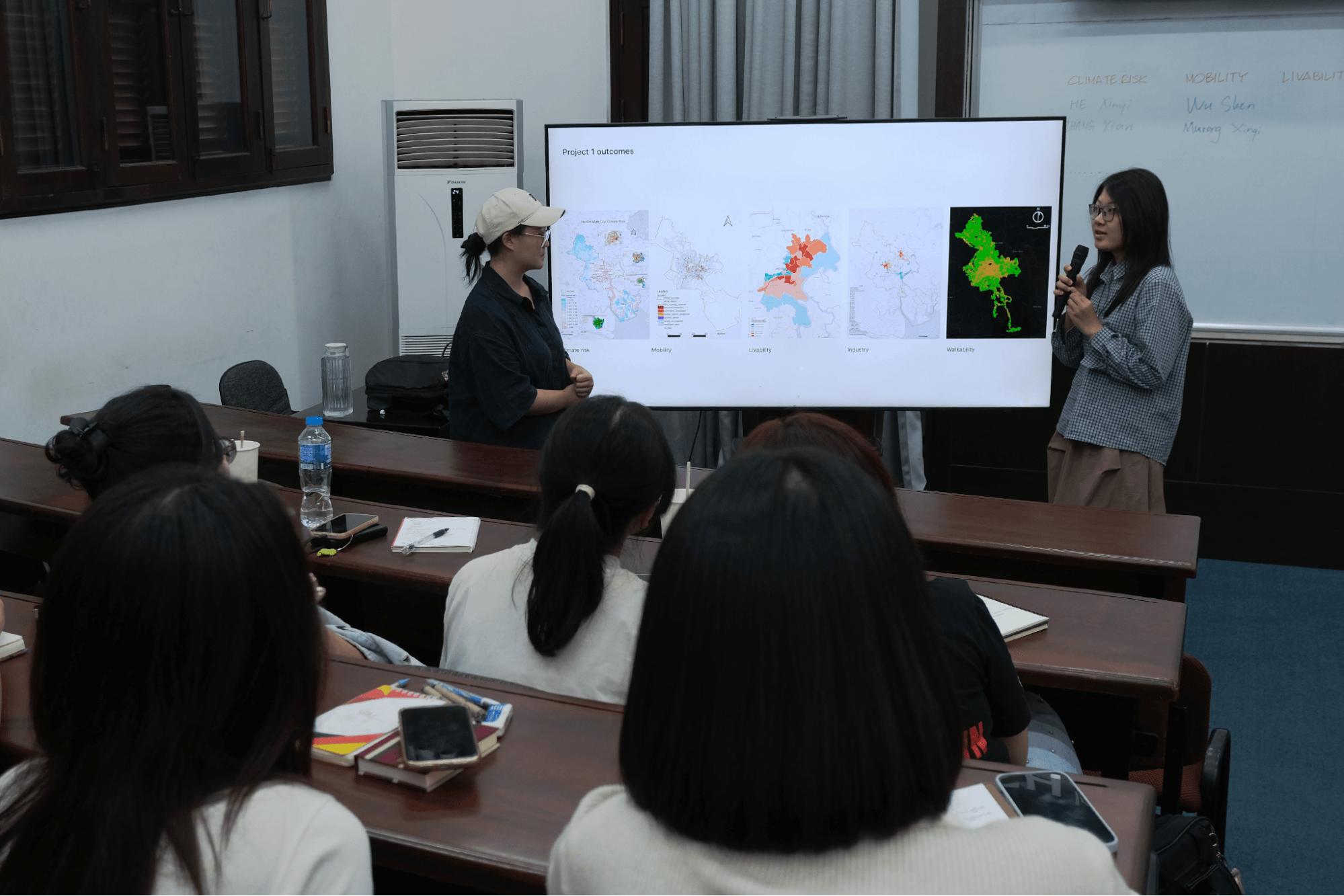
Figure 2. NUS students presenting the research themes
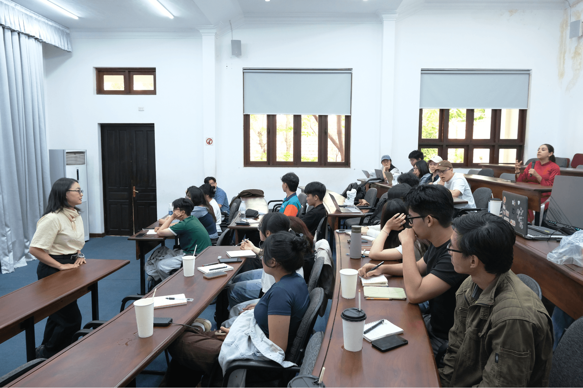
Figure 3. Discussion session at the Vo Thi Sau Campus auditorium
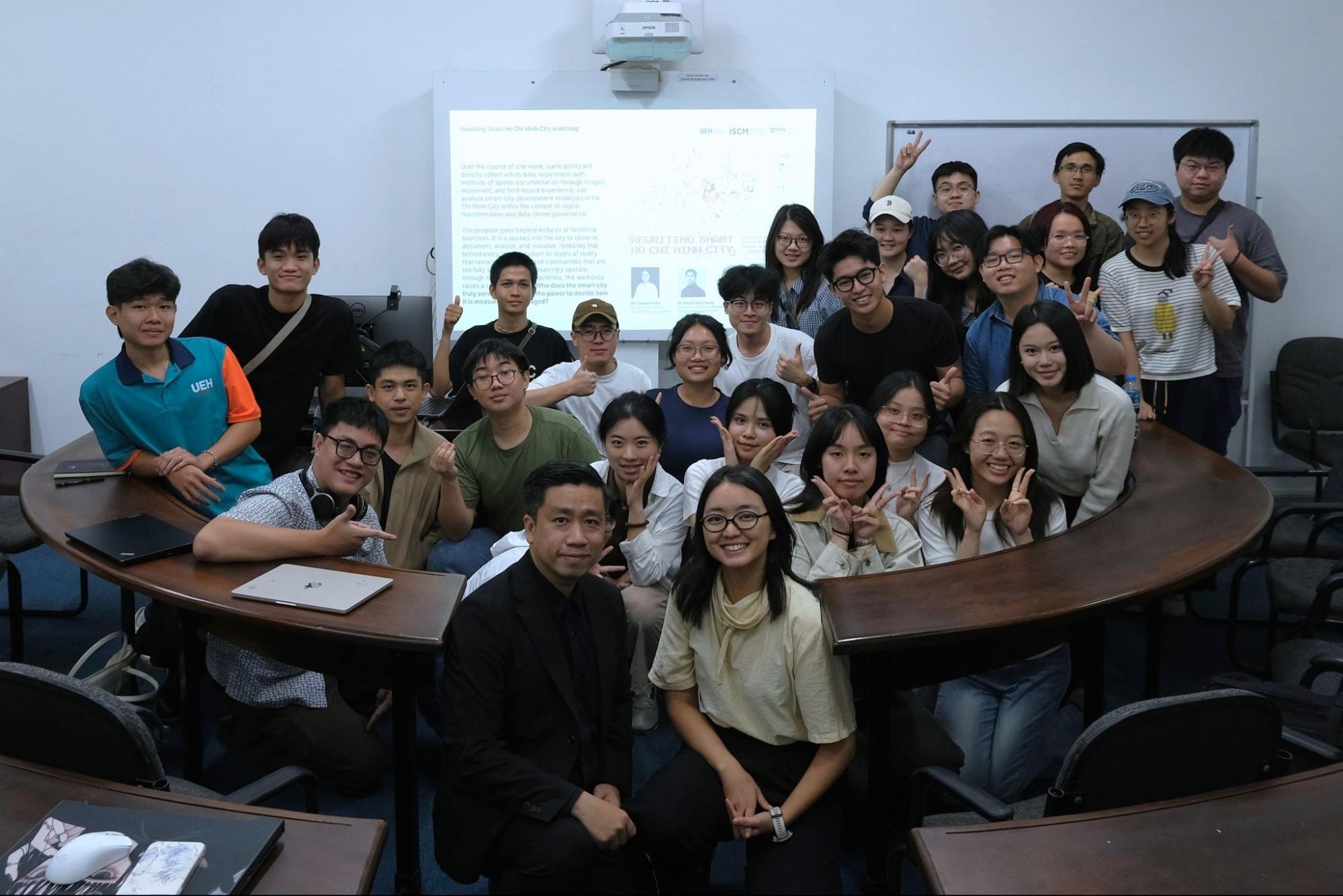
Figure 4. End-of-day recap session of the workshop’s first day
Beyond academic sessions on campus, the workshop also included site visits and field surveys, allowing students to engage directly with the urban context of Ho Chi Minh City. Activities included visits to the Ho Chi Minh City Museum and the Ben Thanh Market area to explore the city’s historical urban development. Students also visited the Ho Chi Minh City Institute for Development Studies (HIDS) to learn about urban data collection and analysis methods used in city governance. In addition, ENCITY Group shared insights on development projects in Thu Duc City and strategic approaches to smart city development.
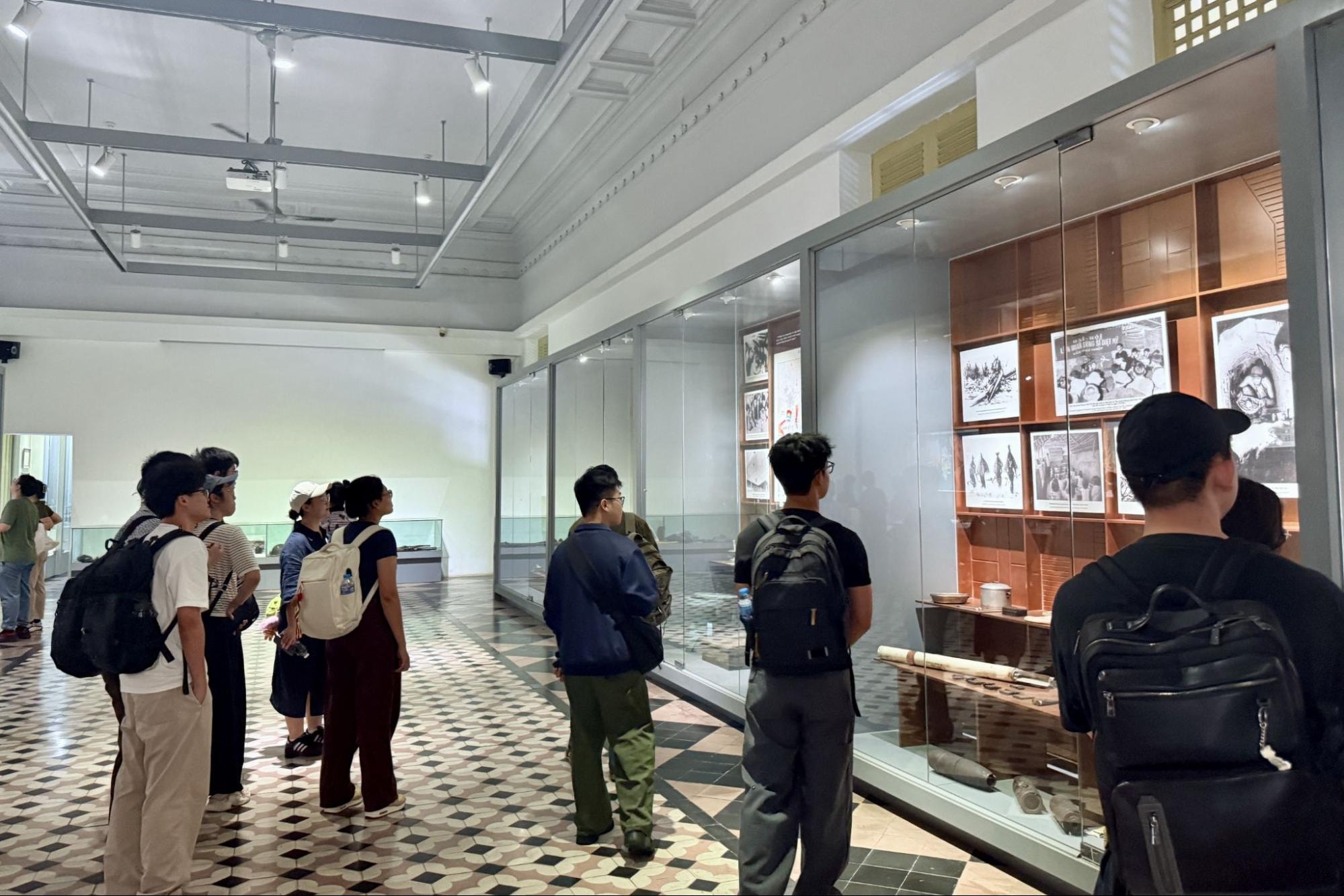
Figure 5. Visiting the Ho Chi Minh City Museum
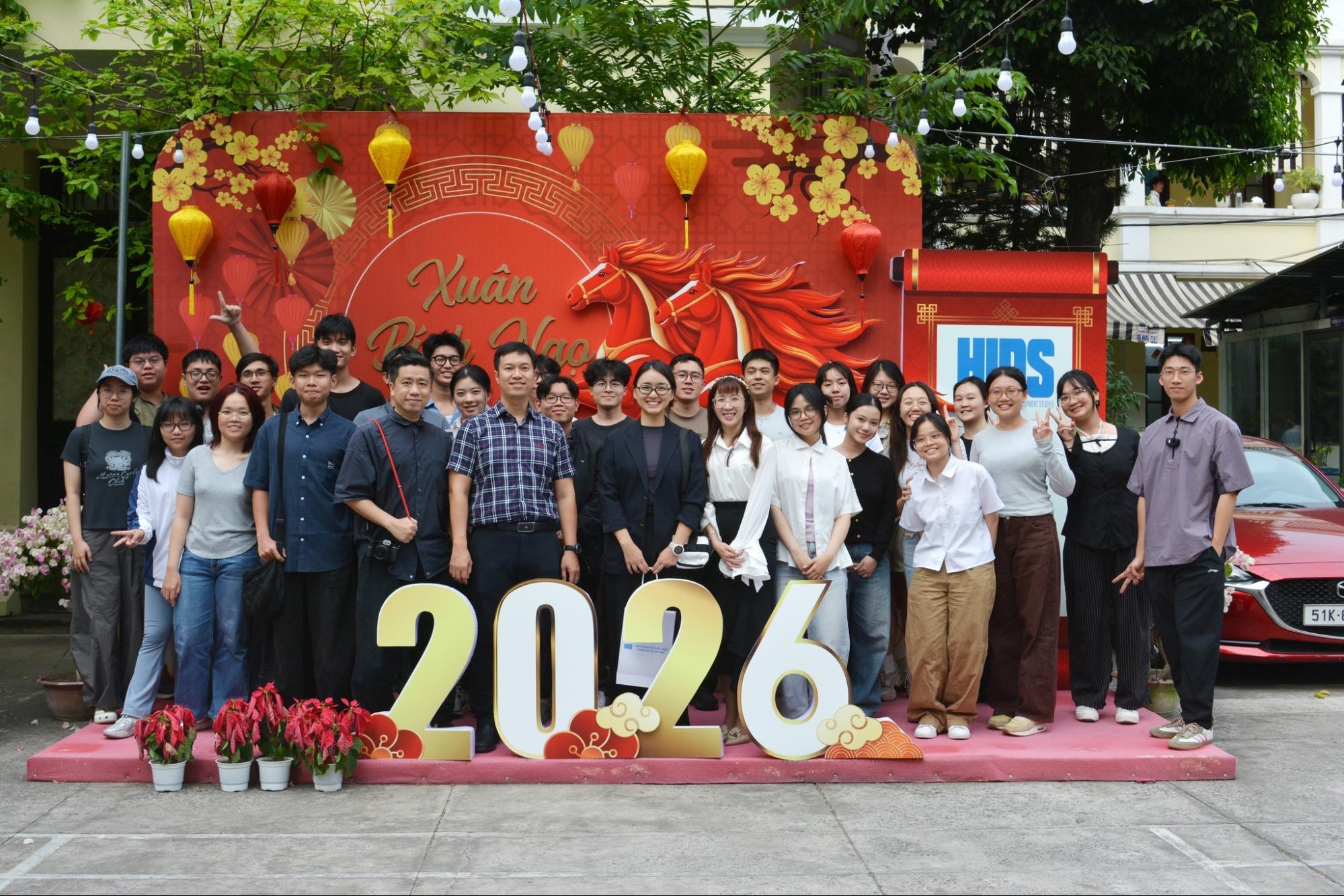
Figure 6. Visit to the Ho Chi Minh City Institute for Development Studies (HIDS)
The workshop concluded with student presentations and review sessions, where each group presented research findings based on field observations and data analysis conducted during the program, offering new perspectives on urban challenges in Ho Chi Minh City.
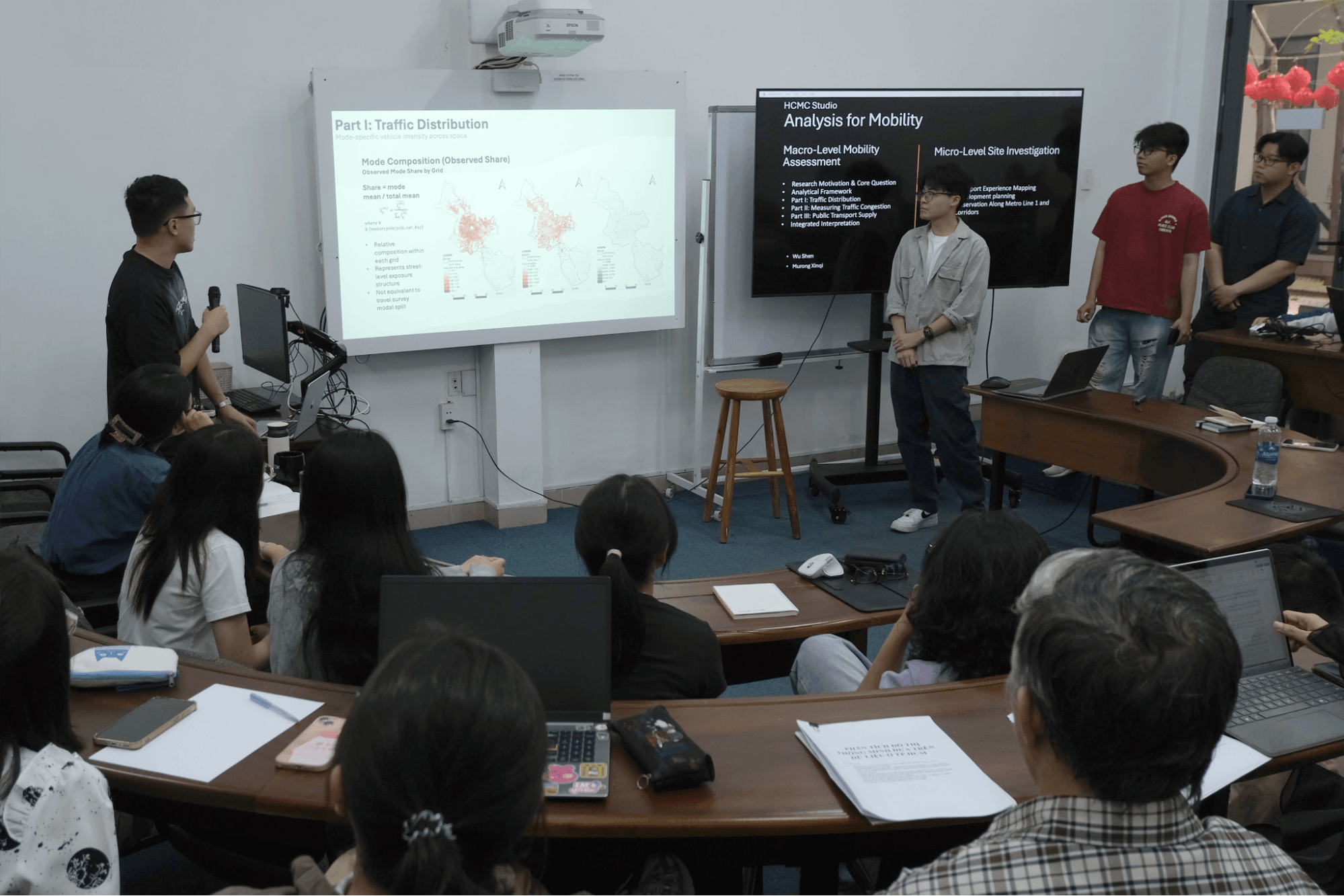
Figure 7. Mobility Group
The Mobility group examined the relationship between traffic distribution, congestion levels, and access to public transportation in Ho Chi Minh City. Using a 250m × 250m grid-based dataset across the city combined with time-based mobility data and field observations along Metro Line 1 and Line 2 corridors, the study found that 74% of urban mobility demand remains dependent on motorcycles, while public transportation systems are being developed to support future multimodal mobility networks.
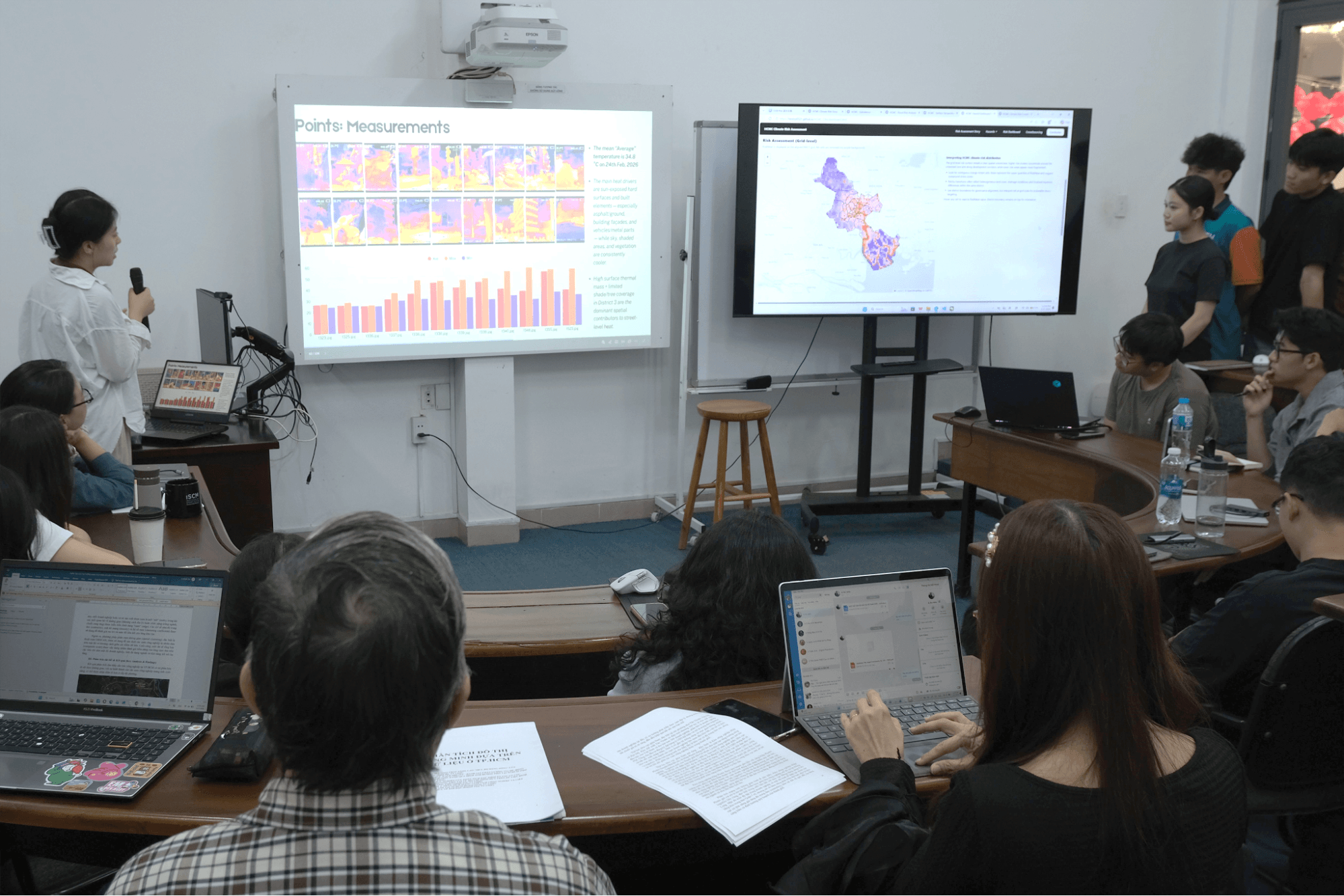
Figure 8. Climate Risk Group
The Climate Risk group analyzed the distribution and overlap of climate-related risks across Ho Chi Minh City. Their findings indicate that high-density urban areas in the central and western districts, particularly District 6, District 11, Tan Phu, and parts of Binh Thanh, exhibit the highest concentration of overlapping environmental risks. These risks are often clustered along urbanization corridors and low-lying areas. Beyond infrastructural and environmental monitoring solutions, the study also highlighted the role of informal shading structures-such as shop awnings, alley canopies, and street vendor shelters-in creating microclimates that improve thermal comfort in increasingly heat-stressed urban environments.
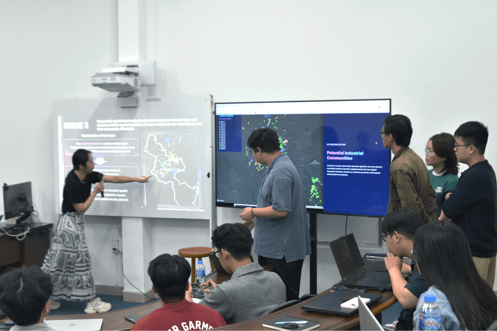
Figure 9. Industry Group
The Industry group investigated the spatial structure and distribution of industrial activities in Ho Chi Minh City using economic datasets, industry network analysis, and enterprise mapping. Results show that industrial activities are widely distributed with a high degree of sectoral diversity but remain concentrated in traditional manufacturing and logistics sectors. The analysis identified three major industrial hubs: Saigon Hi-Tech Park, Tan Binh Industrial Park, and Tan Thuan Export Processing Zone, forming a strategic axis connecting high-tech industries, manufacturing, and export-oriented production. These findings highlight the need for integrated data platforms and smart logistics infrastructure to strengthen industrial networks in the city.
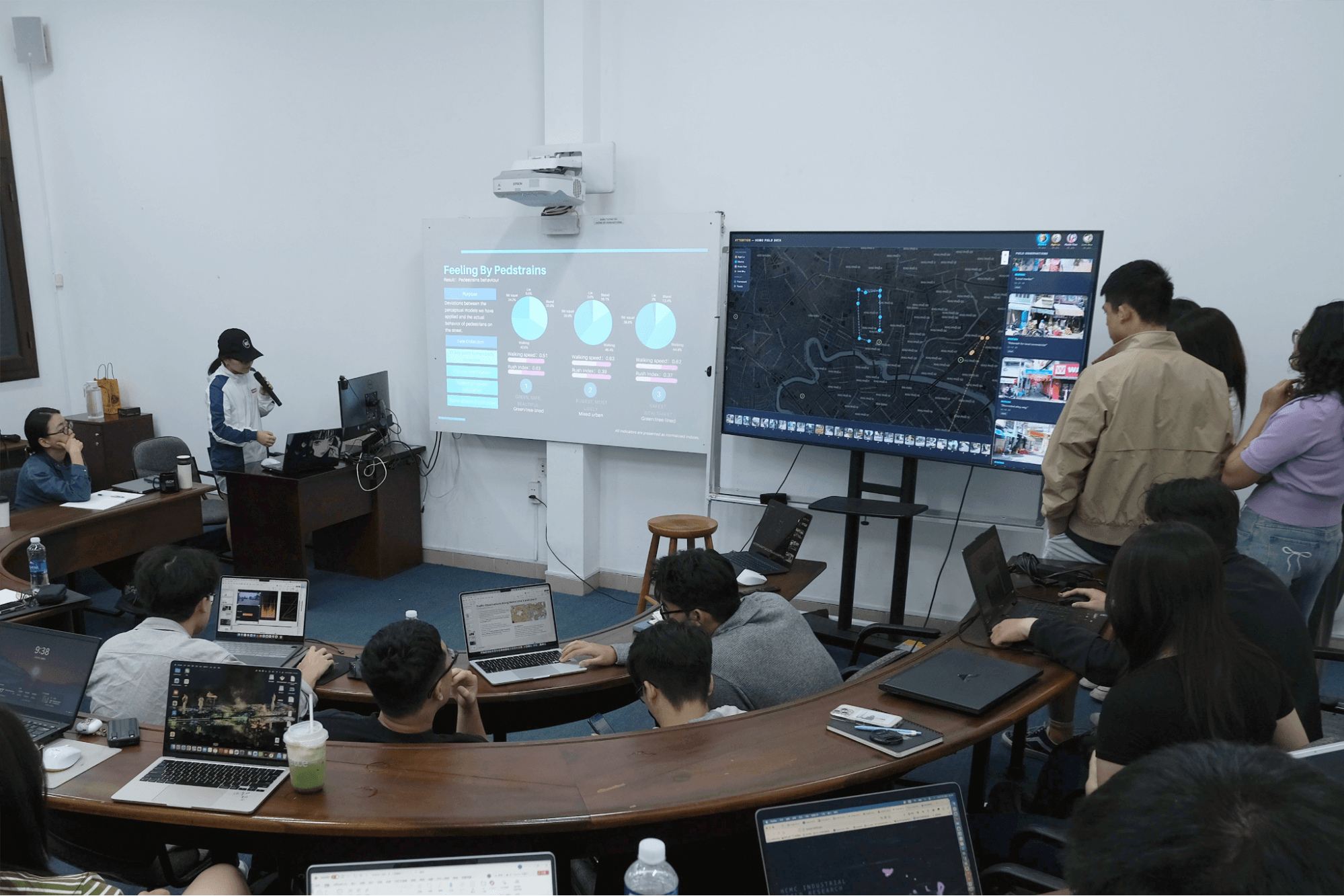
Figure 10. Walkability Group
The Walkability study proposed an evaluation framework based on three key pillars: Safety, Accessibility, and Comfort. Indicators included exposure to motorized traffic, spatial organization of sidewalks, and microclimatic conditions. The study found that walkability varies significantly at the micro-spatial scale along the same street segments. Interestingly, the research identified what was termed the “paradox of beauty,” where elements such as street vendors and motorcycles occupying sidewalks may actually contribute to street vitality and a sense of social safety for pedestrians. This insight suggests the need to move beyond purely technical approaches toward experience-based and context-sensitive urban design.
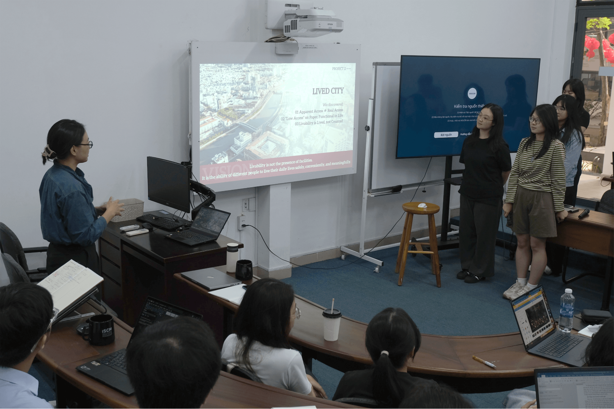
Figure 11. Livability Group
The Livability group examined urban quality of life through spatial analysis of urban amenities, accessibility by walking and motorized transport, and the gap between perceived safety and actual protection. Findings indicate that livability challenges often emerge at localized spatial scales, resulting from mismatches between population density, service accessibility, and functional diversity in urban areas. The research emphasizes that livability depends not only on the quantity of amenities but also on their accessibility and the everyday experiences of residents in urban spaces.
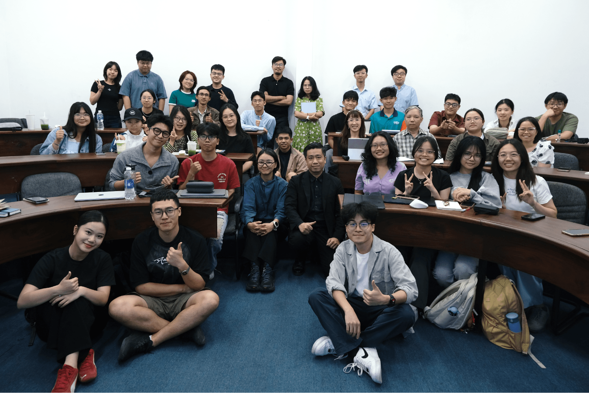
Figure 12. Workshop closing session
Through this workshop, students enhanced their research and design thinking in sustainable urban development while gaining hands-on experience with urban data analysis and visualization methods. The program also fostered international academic exchange and research collaboration between the Institute of Smart City and Management (ISCM – UEH) and the National University of Singapore (NUS).
ISCM would like to express our sincere appreciation to Dr. Chaewon Ahn, Dr. Arch. Huynh Van Khang, and all participating faculty members and students for their valuable contributions to the success of the program.
Reported by: Institute of Smart City and Management (ISCM)