
From Global Knowlegde to Local Data: Adaptive Planning for Sustainable Urbanization in Da Nang
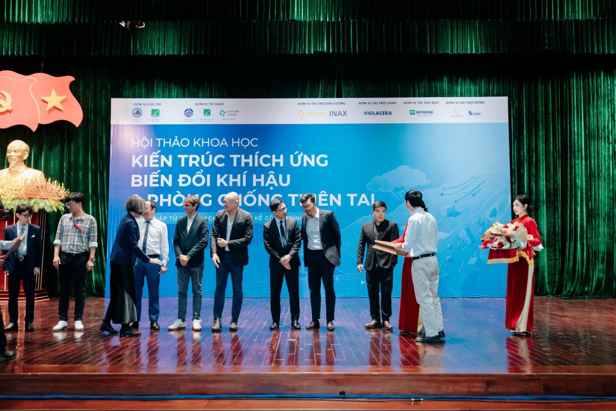
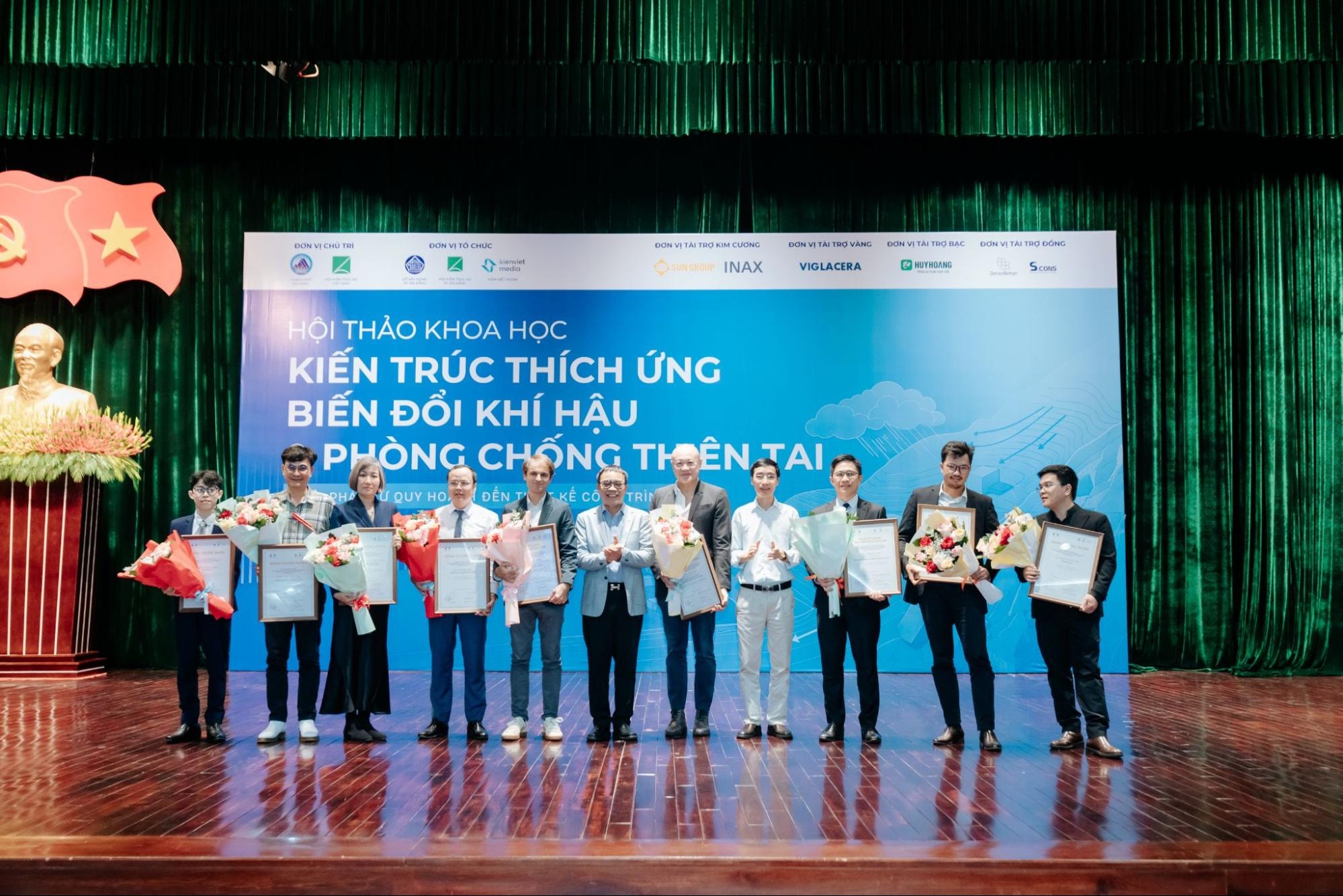
On May 16, 2026, at the Da Nang Administrative Center Hall, the Scientific Conference “Adaptive Architecture & Disaster Prevention: Solutions from Planning to Building Design” officially took place. This strategic event was honored by the attendance and the attendance of city leaders and local authorities. The conference also received extensive media coverage from Da Nang Television, Kien Viet Media, and the Vietnam Association of Architects.
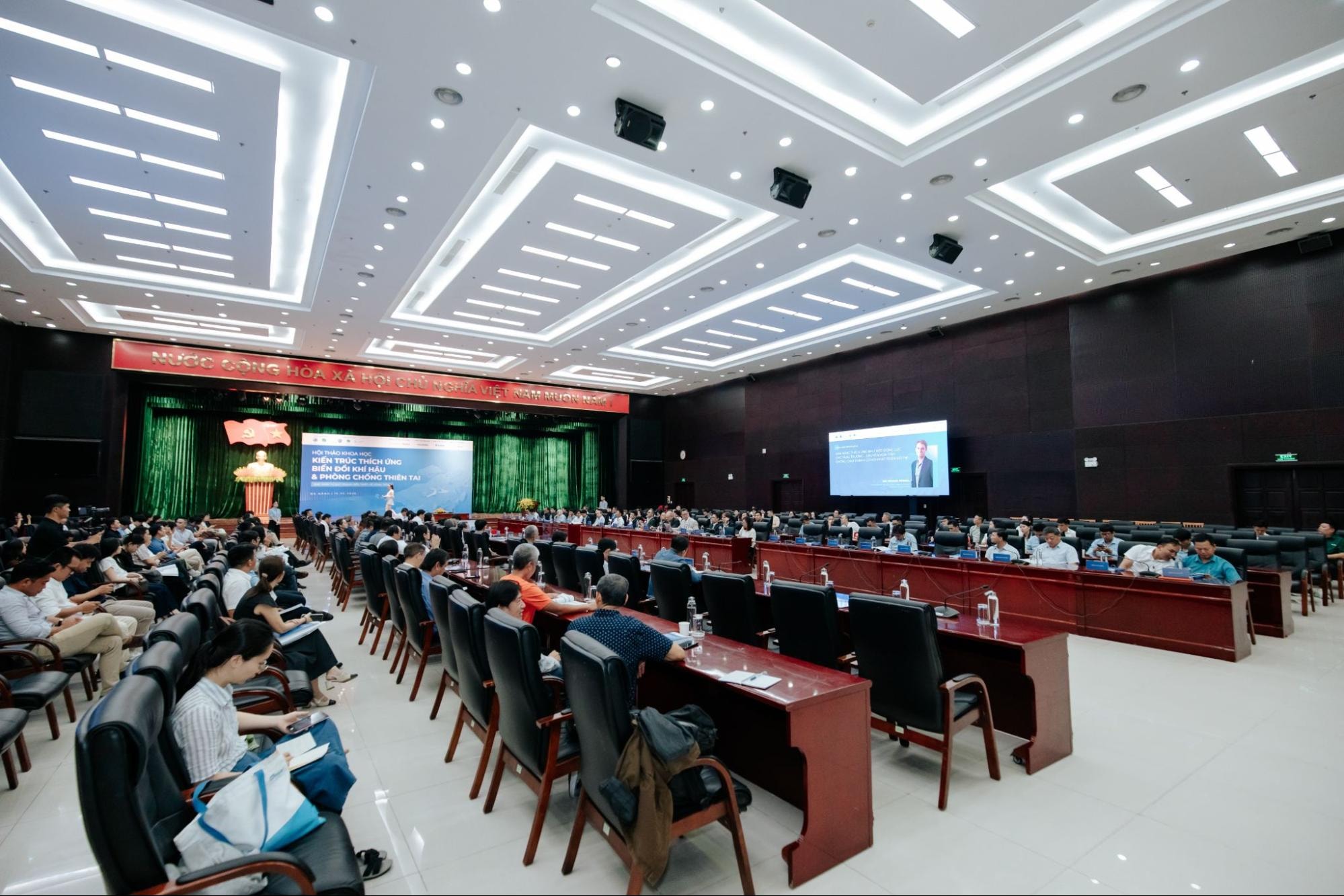
With more than 30 scientific papers submitted across 8 thematic sessions, the conference gathered over 50 leading speakers, researchers, and more than 300 experts and policymakers nationwide to discuss proactive adaptive spatial solutions.
Flooding Challenges Along Vietnam’s Central Coast
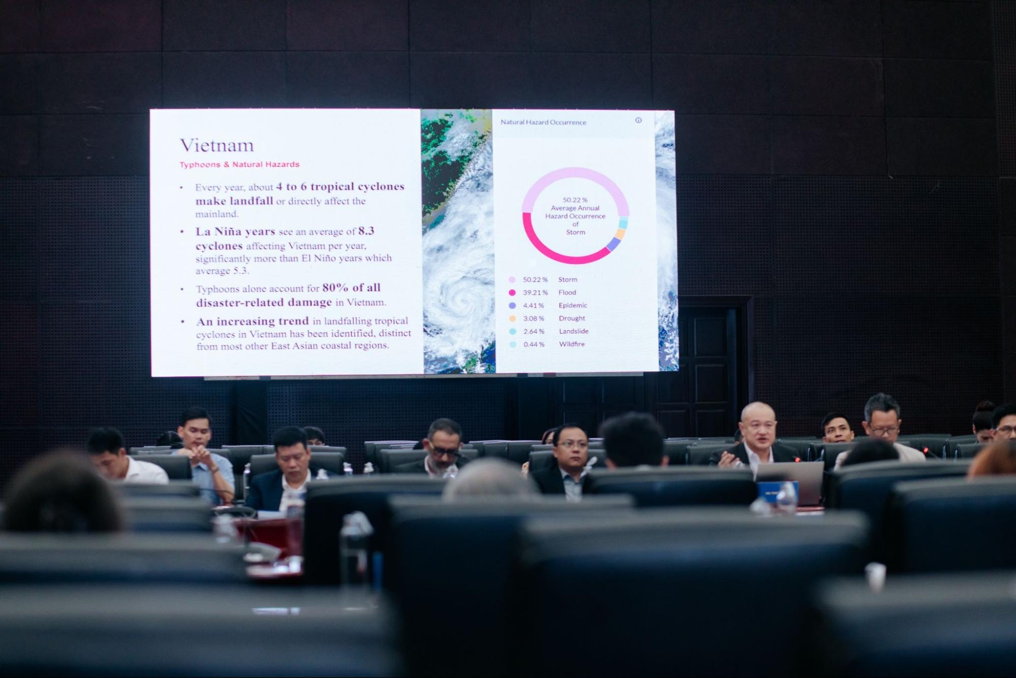
Vietnam’s Central Region, characterized by steep mountainous terrain and short river systems, has long been highly vulnerable to natural disasters. In recent years, especially during the 2022–2025 period, the region has continuously faced extreme weather conditions, including consecutive storms, prolonged heavy rainfall, and rising tidal surges.
Flooding is no longer occurring in predictable cycles but is increasing in both frequency and intensity, causing widespread impacts that are difficult to forecast. When upstream floodwaters coincide with downstream tidal surges, coastal plains and riverside urban areas are rapidly overwhelmed, resulting in severe damage. This reality demonstrates that traditional hard infrastructure solutions are gradually reaching their limits, creating an urgent need for a shift toward proactive adaptive spatial planning approaches.
Urbanization Pressure on the “Most Livable City” Vision
As the economic growth center of Central Vietnam, Da Nang continuously attracts waves of migration due to its reputation as a “livable city.” However, this rapid development also brings significant infrastructure challenges.
During the conference, M.Arch. Hoang Le Nam Hai (Institute of Smart City and Management, University of Economics Ho Chi Minh City) presented an analysis of the challenges arising from current urbanization pressures. The presentation highlighted that Da Nang’s urbanization rate has now reached 87.2%, among the highest in the country, placing enormous pressure on natural systems.
Based on satellite image data from 1985–2024, the research demonstrated that widespread concretization has significantly reduced green spaces and natural water bodies throughout the area. As permeable surfaces continue to shrink, Da Nang has experienced unprecedented flooding events.

From this reality, the presentation emphasized the urgent need for a sustainable development direction: cities must increase social value through long-term resilience, protecting natural ecosystems rather than pursuing overheated growth that could lead to lasting environmental consequences.
The Intersection of Global Practical Projects and Domestic Academic Research
To address the challenge of balanced development, the conference established a multidimensional platform combining extensive intellectual resources:
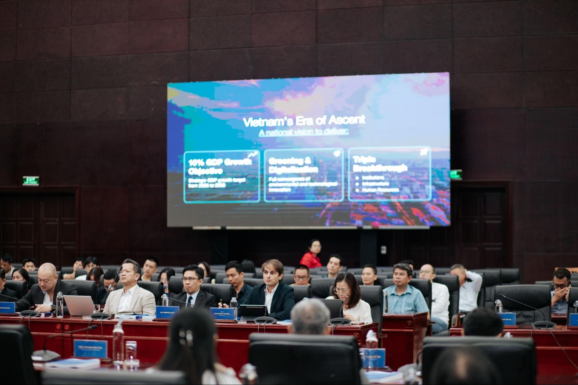
Practical perspectives from international firms: Renowned consulting and design companies such as Arup and Skidmore, Owings & Merrill shared experiences from real-world international projects and the application of global technical standards such as ASCE 7-16 and FM Standards. Their solutions demonstrated how integrating green infrastructure strategies can reduce disaster risks while optimizing long-term socio-economic value for projects.
At the same time, researchers from institutions including Hanoi University of Civil Engineering, Ho Chi Minh City University of Technology, and University of Economics Ho Chi Minh City contributed in-depth studies based on local datasets. These papers focused on decoding the unique climatic and geographical characteristics of Central Vietnam, transforming global knowledge into planning and design tools compatible with local governance conditions.
International Theoretical Frameworks, Technology Applications, and Local Knowledge
The Sponge City concept, developed by Yu Kongjian, represents a sustainable planning philosophy emphasizing the urban land’s ability to absorb, store, infiltrate, filter, and retain water naturally. Combined with Green Infrastructure models, this framework promotes transforming public spaces into natural “buffer zones” capable of proactively regulating water flow, rather than relying solely on engineering structures designed to resist water.
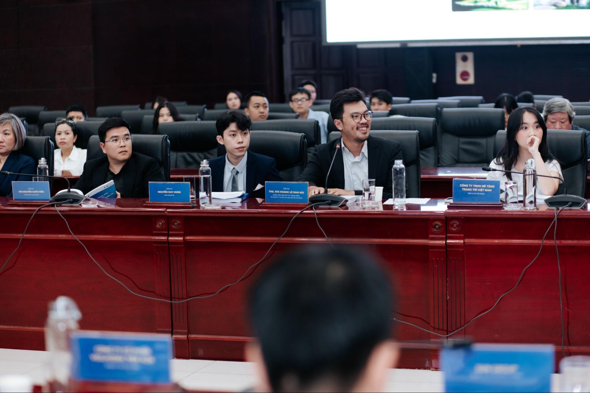
Building upon these contemporary theoretical frameworks, a case study conducted in the Cu De River Basin (Da Nang) by Hoang Le Nam Hai and collaborators Mong Kha and Hoang Nam (Huni Architects Co., Ltd. and Ton Duc Thang University) highlighted a science-based planning approach. The presentation demonstrated a data-driven methodology integrating global knowledge directly into local applications.
Notably, the research proved the potential of applying Artificial Intelligence (AI) and GIS technologies in analysis and planning from a comprehensive perspective. The authors utilized hydrological algorithm models to evaluate and simulate scenarios based on actual topographic elevations (ranging from 826.9m to 3.4m) alongside historical floodwater data reaching 7.2m during the 2022 flood event.
Instead of aggressively intervening in natural water flows, the proposal recommended organizing urban spatial planning according to natural topography. Higher elevation zones would support urban development with distributed green infrastructure and permeable surfaces, while lower riverside areas would be returned to nature as flood corridors, retention lakes, and seasonal wetland ecosystems. Preliminary quantitative modeling results indicated that this strategy could reduce peak flood discharge by 25%-35% and decrease localized flow velocity by 20%-30%.

This technological approach directly aims to generate tangible social value: protecting lives and property during storm and flood seasons while simultaneously providing high-quality public green spaces under normal conditions. Supported by international lessons and strong data foundations, the Cu De River study attracted significant attention, positive evaluations, and extensive discussions with potential partners immediately after the conference concluded.
Conclusion
The 2026 Scientific Conference in Da Nang provided strong empirical scientific evidence supporting adaptive architectural approaches. Data-driven thinking models and advanced algorithmic applications, such as the Cu De River project presented at the conference, offer practical directions for optimizing land value while ensuring safe and sustainable urban development for coastal cities in Central Vietnam.
News and photos: Institute of Smart City and Management (ISCM)